B2 · 5 dk okuma · 586 kelime ·
How Polynesian Wayfinders Crossed the Pacific
Polinezyalı Denizciler Pasifik'i Nasıl Aştı?
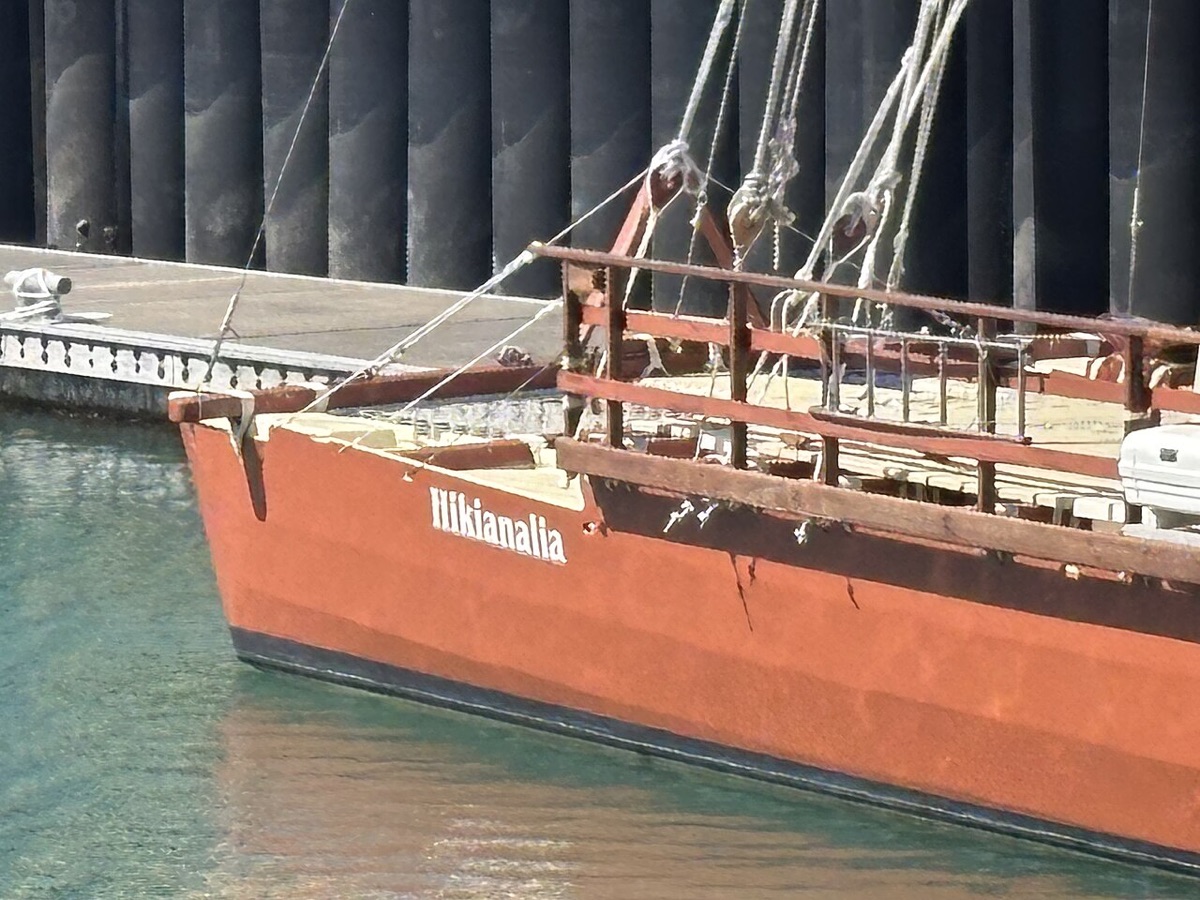
Görsel: Paora (CC0), wikimedia commons
önce İngilizcesini oku
Long before Europeans sailed across the Pacific Ocean, people from the islands of Polynesia had already explored a huge part of it, using no maps, no compasses and no instruments of any kind.
Their islands form a giant triangle, with Hawaii in the north, New Zealand in the southwest and Easter Island in the east, and the ocean inside it covers millions of square kilometers.
How did they manage to find tiny islands in the middle of so much empty water?
The answer lies in an ancient art known as wayfinding, which was passed down from one generation to the next through stories, songs and years of practice.
A navigator memorized the points on the horizon where hundreds of stars rose and set, and used them like a compass that turned slowly through the night.
During the day, the navigator would watch the sun and, even more importantly, the ocean swells, the long waves created by distant winds that keep the same direction for days.
Experienced navigators could feel the different swells through the movement of the canoe, and some were said to lie down in the hull at night to sense them better.
Young navigators trained for many years, often starting as children, and they had to learn all of this by heart, because nothing was written down.
Nature also gave other signs that land was near.
Certain seabirds fly out to sea in the morning to fish and return to their islands in the evening, so a navigator who saw them at sunset knew which way to go.
Clouds that stayed in one place above the horizon often meant that an island was hiding beneath them, and a green tint on the underside of a cloud could even reveal a lagoon.
Waves that bounced back from an island changed the pattern of the swells, which skilled navigators could read like a map.
The canoes themselves were remarkable.
A voyaging canoe had two hulls joined by a platform, which made it very stable in rough seas, and it could carry a crew together with enough food and water for weeks at sea.
When people set out to settle a new island, they also took pigs, dogs, chickens and plants such as taro and breadfruit, everything they needed to start a new life.
New Zealand, one of the last large lands on Earth to be settled by humans, was probably reached only about 750 years ago.
For a long time, many Western scholars doubted that such voyages had been made on purpose.
Some argued that the islands had been settled by accident, by canoes that simply drifted with the wind.
To test this, a group in Hawaii built a traditional double canoe called Hokulea, and in 1976 it sailed about 4,000 kilometers to Tahiti, guided only by the stars and the sea.
The navigator on that first trip was Mau Piailug, a master from a small island in Micronesia and one of the few people who still practiced the old methods.
The trip took about a month, and when the canoe finally arrived, thousands of people were waiting on the beach to welcome it.
The voyage proved that the ancestors of the Polynesians had been brilliant explorers, not lucky survivors.
It also inspired a cultural revival across the Pacific, and today new generations of navigators are learning the ancient skills again.
Between 2014 and 2017, Hokulea even sailed around the world, reminding people that the ocean was never an empty barrier for the Polynesians, but a road that connected their islands.
Arkadaşınla paylaş
Bu yazıdaki gramer
Metinde gördüğün yapıları ücretsiz derslerle öğren.
Ücretsiz test
İngilizce seviyeni 5 dakikada öğren
Ücretsiz gramer testi: hangi derslerden başlaman gerektiğini söyler.
Testi çöz